Upcoming Events


Bought to you by The Kinloch Community Association and Trev Terry
SATURDAY 9TH MARCH 2024
FROM 11AM TO 4PM
Lunch for all participants will be provided at a beach on the lake. (A donation is appreciated).
EARLY BIRD ENTRIES $75
$95 on the day (Jet ski early bird entry $40, on the day $60)
All Early Bird Entries will go into the draw for a Weber Q Premium BBQ (valued at $700) and receive 2 extra Poker cards when collecting their Poker hand.
BRING YOUR FISHING ROD: FISHING PRIZES FOR THE HEAVIEST FISH – MALE/FEMALE/BOY/GIRL
PURCHASE TICKETS
Please download the registration form below and pay via direct credit to the following bank account: Kinloch Community Association Inc, Westpac Taupo Branch 03 0430 0247484 00. Make sure you include your surname as a reference or enter and pay directly below.
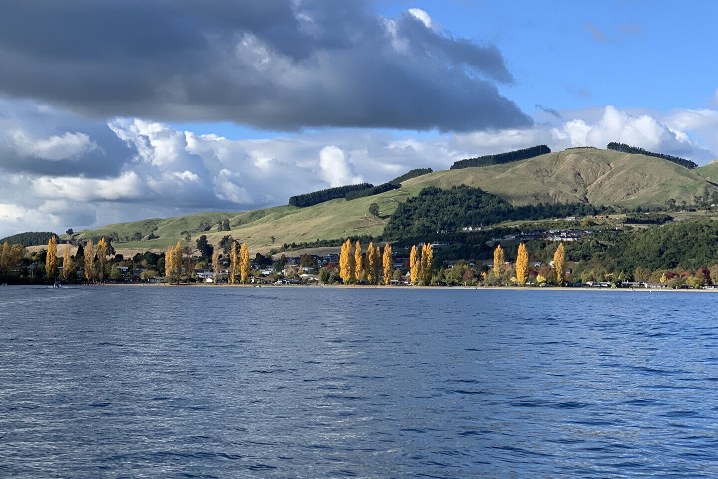
Kinloch
Just 20 minutes from Taupo town, a picturesque village set in the northernmost cove of Lake Taupo, Kinloch is an in-the-know hideaway, particularly for keen cyclists, golfers and fishermen.
Kinloch is well known for the Whangamata Stream trail. This is a relaxing and refreshing walk or cycle of 7km alongside a beautiful running stream. Being of mostly flat contour, it can be enjoyed by families with buggies and small people on bikes . Access is on the lake front along from the Kinloch Store or many points along the route towards Whangamata road where there is some road parking and two DOC entries.
Activities

Cycling & Walking Trails
When it comes to cycling and walking Kinloch has it all. From the extensive Great Lake Trail to the more casual Whangamata Stream Track. If you explore the streets of Kinloch you will find many hidden tracks.

Trout Fishing
If trout fishing is your thing Kinloch is the place to do it. We have a great marina to launch your boat or you can organise a fishing tour with one of our local fisher people and head over to the Western Bays.

Golf
Kinloch boasts one of the world famous Jack Niclaus golf course for all you serious golfers or you can play at our local 10 hole golf course which is situated on both sides of Kinloch Road at the beginning of Kinloch at the round about.

Rock Climbing
Kinloch is the gateway to one of New Zealand’s most popular rock-climbing destinations. At Kawakawa Bay you will find rock climbers all year round.

Art and Culture
Kinloch isn’t just all about sports we also have a number of talented artists right here in the village. With studios you can visit a look at the artwork.

What’s on in Kinloch
Kinloch hosts a number of events over the year from international triathlons, half marathons and ultra marathons to kids fun days and cocktail parties.
Our Community
Kinloch is made up of 800 permanent residents. This number swells to over 1200 when holiday season is here. Kinloch is known for it’s easy going pace where kids can roam free safely.
Kinloch Community Playgroup
This is a child led community playgroup based in the Kinloch Community Hall on Mondays, 9.30 – 11.30am during school term time. We are a very relaxed group of caregivers who welcome all new families to Kinloch.


Central Kids Kinloch Kindergarten
Operating hours:
Monday - 11.00am - 3.30pm
Tuesday - 11.30am - 3.30pm
Wednesday - Closed
Thursday - 8.30am - 12.30pm
Friday - 8.30am - 2.30pm
Open throughout the School Holidays centralkids.org.nz
Accommodation
Kinloch has all sorts of accommodation available from Bed and Breakfasts to the 5 star Kinloch Club
Join the Kinloch Community Association
The Kinloch Community Association (KCA) has a volunteer committee that works to help connect Kinloch’s community and communicate what’s happening in Kinloch.
ANNUAL SUBSCRIPTION FOR 2023/2024
Family Membership $30 (inc $5 to ERV support)/ Individual membership $20

Enquire
If you have any questions for the Kinloch Community Association please inquire here.

